WB Land Info : Banglarbhumi is an independent Android utility for finding public land-record services in West Bengal. Its Google Play listing, updated on 18 October 2026, describes improvements to Mouza map requests and the interactive map viewer, an SSL handshake fix, better search results, and general stability and performance fixes. This article summarizes the changes reported by the developer; it is not a government notice or a guarantee that every map or portal request will work on every device.
What the October 2026 app update says
The Google Play listing currently lists these changes:
- Mouza map request and viewer: The update notes improvements to the request flow and interactive map viewer.
- SSL and map rendering: The release notes report an SSL-handshake fix and smoother map rendering.
- Search results: Search has been enhanced; the listing does not specify a measured speed increase or a particular new search field.
- Maintenance: General bug fixes, stability work and performance improvements are also listed.
The listing shows an update date of 18 October 2026. App-store notes can change with later releases, so check the listing for the version currently offered to your device.
Using the Mouza map tools carefully
A Mouza map helps users explore a village-area map, but the map view should not be treated as a certified boundary, title document or survey measurement. The West Bengal government’s Banglarbhumi portal is the official source to consult for land-record services. Check its live menus for the service you need, current application instructions, fees and signed-copy requirements.
If a map does not load, check your internet connection, retry later and compare the information with the official Banglarbhumi service. An app-side map display or a saved screenshot does not replace an official record or order.
Other app features
The app’s public description also lists Khatian and plot (Dag) information search, Mouza-map request guidance, a land-area converter, mutation hearing and application-status tracking, citizen-service links, Bengali and English interface options, and local bookmarks. Availability may depend on the connected public portal, device, location and network. The app is a navigation utility; the government portal remains the source for official records and decisions.
For the app’s current feature description and download option, see the WB Land Info app page or open its Google Play listing. You can also read our West Bengal land-records app guide.
Who may find this update useful?
- People who use the app’s Mouza map request or map-viewing tools.
- Users who previously encountered a map-loading or SSL connection problem.
- Anyone who wants to check the app’s current release notes before updating.
Updating is optional. Review the current store listing and permissions first, and use the official portal when you need an authoritative record or service response. You can also read the developer-provided Google Play Data safety disclosure; it may change and is not an independent security audit.
Frequently asked questions
What changed in the October 2026 WB Land Info update?
The Google Play release notes list Mouza map request and interactive viewer improvements, an SSL-handshake fix, enhanced search results, and general bug, stability and performance fixes.
Is WB Land Info a West Bengal government app?
No. It is an independent utility and is not affiliated with or endorsed by the Government of West Bengal, the Directorate of Land Records and Surveys, or Banglarbhumi.
Can I use an app map as proof of ownership or an official boundary?
No. Use the relevant government service for official records, signed copies, applications and decisions. A map displayed in an app is for convenient reference and does not establish ownership or a surveyed boundary.
Where can I check Mouza map services?
Start at the official Banglarbhumi portal and check its current menus and instructions for the relevant Mouza map service. Availability and application requirements can change.
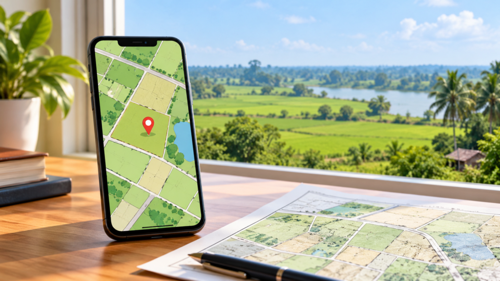
Featured image credit: Original conceptual artwork generated with OpenAI ImageGen for SarkariAsk. It is not an official map or a screenshot of WB Land Info.